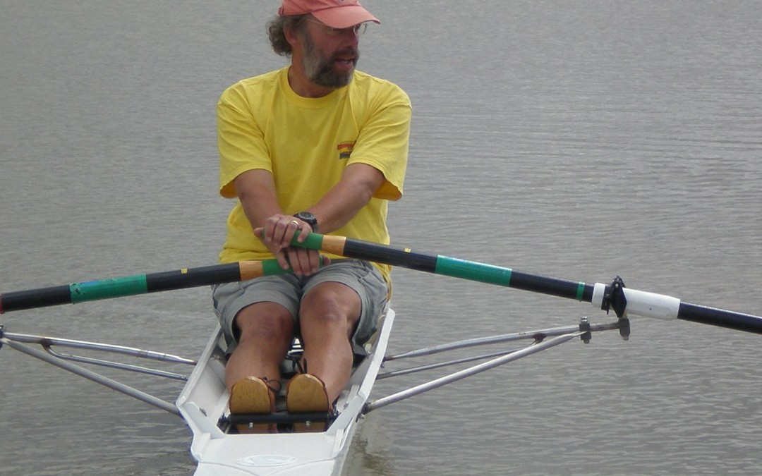
On a quiet morning a few days ago, I headed to the boathouse for an early morning row. The wind was absolutely still signaling calm water which is a real benefit when navigating across the water in a twenty seven foot shell barely 12 inches at its widest point.
The walk from the boathouse to the water has become considerably longer now that the water has gone down. I figure that we now need to walk the length of two and a half football fields to reach the water. (Plan on coming to this month’s Eco Salon and learn about the various levels of the Presa Allende!) I needed to launch my shell from shore as our tiny wooden dock made from recycled wood was missing. Valuable to us, it is of little value to anyone except for maybe firewood.
Rowing over near the community of Don Juan I now had a reason to take another look at the used dock that sits there. It is owned by a member of Amigos who has offered it to us! We need to figure out the logistics of securing it, setting it to float at the proper level (it is built on blue barrels), and how adjustments will be made to compensate for the water level. By the way, did you know that the community of Don Juan was divided by the Presa? Half is on the west side and the other half on the east!

The sun was beginning to warm the far western shore of the ‘northern flood plane’ which is what we have named the northern most section of the Presa that lies on either side of the Rio Laja. For our purposes this area (that in previous years has been totally dry and used to grow corn) is divided by the Rio into the western and eastern flood plane. The western flood plane has one large island that is a favorite roost and thus we call it, Bird Island. One can row or paddle on the northern edge of Bird Island through the the riparian buffer of the Rio Laja and come out at the old hacienda on the eastern flood plane. At high water, the old abandoned hacienda is itself an island causing its few squatter inhabitants to get there by boat.
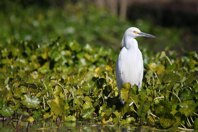
My row up the western flood plane was interrupted by the appearance of the remains of what I believe to be another aqueduct visible only when the water drops about 3 or 4 meters in that area. I stopped for several minutes to observe dozens of white Pelicans, Cormorants, and Egrets standing on the now visible portions of the aqueduct. They were carefully watching me glide by their perch ready to take to the water or flight if I got too close.
I continued my row becoming happier that this enjoyable time on the water was not being interrupted by my usual habit of doing ‘power pieces’ – a form of interval training necessitating the counting of strokes and other breaks in a meditative row! What a beautiful place this Presa Allende!
I had decided to cross the Rio and row up the eastern flood plane around the northern islands, but when I arrived saw that the water was too low and crossing at this point was impossible. But as I approached the riparian zone my heart sank to see the tremendous extent to which the trees had been cut down – their stumps now protruding a couple meters above the water.
All the trees along the Rio Laja play a vital role for the health of the river as well as the dozens of species that depend on it. This is the first year that I recognized the signs of taking these trees with a chain saw. Not only were the cuts perfectly clean, but the size of the trees ranged from six to sixteen inches.
I slowly rowed down the edge of riparian buffer of the river reminding myself I needed to take my camera on the next trip out to document this destruction and try to figure out how if it can be stopped. Do those men operating from fishing boats know that this is illegal? Do they know the harm that they are causing? It may have been one thing to see them in previous years with hand saws taking small amounts, but quite another when they attack with chain saws. In the past, I have assumed that the wood was being used as firewood, but these much bigger trees I suspect have other uses. Split and sold as firewood for ‘ornamental’ fireplaces? Carried by boat to fuel the brick kilns? Possibly. But whatever, at the rate of destruction of just this year, there will be serious consequences for the Rio.
I rowed to near the bottom of the Rio where it takes its sharp turn to the west and rounded my boat up the eastern flood plane to above the old hacienda and the northern islands. My passage around the islands now impossible with the lowering water. The hacienda now no longer water locked but connected once again to land, I saw that where I had rowed weeks ago was now being plowed by a tractor and planted. A pump was extracting water presumably for a freshly planted field, and a lime green pick-up truck was parked at water’s edge on the hacienda ‘island’. Off in the distance and out of sight, I heard the familiar (to me) sound of a chain saw! Was this cutting taking place on ‘public’ lands?
I turned and began my row back being treated to number of birds along the Rio including maybe the same flock of Spoonbills and the huge scavenging black vultures in the treetops with semi-outstretched wings drying in the sun.
As I rounded the peninsula and headed into the little bay from which we launch, I saw a dozen or so young men jogging, three mountain bikers (who recognized me and waved), and the usual people out casually walking their dogs. What a beautiful place we have here in the Presa Allende!

Hi Mike! I enjoyed your article very much. It can’t believe that this beautiful scenic place existed! Please let me know how I can participate and join Amigos de la Presa. Cheers!